Summary
These tools give clear pictures from space and quickly show any changes on the ground.
He encouraged the new officers to keep learning about these tools and to always act responsibly.
Emerging technologies such as artificial intelligence, geographic information system, drone surveys, satellite imagery, automated change detection and three‑dimensional visualisation improve accuracy.
They make the management of nearly 18 lakh acres of defence land more transparent and efficient.
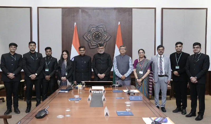
Leaders ask the new officers to use technology wisely, stay honest, and keep serving the nation.
These tools give clear pictures from space and quickly show any changes on the ground.
He encouraged the new officers to keep learning about these tools and to always act responsibly.
Want to learn even more? Click here to read the full story!