← Back
Article image
πŸ“° News ⏱ 2 min
πŸ”‘

Key Points

4 points
1

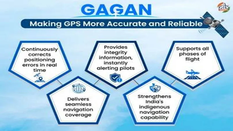
The system, called GPS Aided GEO Augmented Navigation, became fully operational in 2015.

2

It works with 15 ground stations, two control centres and three uplink stations across India.

3

It connects with similar systems from the United States, Europe and Japan.

4

India’s own regional navigation system NavIC works together with this satellite system.

πŸ“–

Summary

Three Indian geostationary satellites broadcast corrected signals and safety information.

Pilots used this system in June 2026 to land a commercial jet using a satellite‑guided approach.

The technology can also be used for ships, road travel, trains and disaster relief.

πŸ“˜

New Words to Learn

14 words
indigenous
made or owned by the country itself
navigation
finding the way to go
satellite
a machine placed high in space that sends signals
geostationary
staying over the same spot on Earth
augmentation
adding extra help or improvement
integrity
making sure something is correct and safe
global
worldwide
ecosystem
a group of things that work together
interoperable
able to work together with other systems
maritime
related to ships and the sea
disaster management
helping people when big emergencies happen
telecommunications
sending messages over long distances
surveying
measuring land or places
mapping
making pictures that show where things are
πŸ”— Read Full Article β†’

Want to learn even more? Click here to read the full story!

πŸ”Š Reading Article
Kid-friendly voice
πŸ†

New Badge Unlocked!

Badge Name
Badge description