← Back
Article image
πŸ“° News ⏱ 2 min
πŸ”‘

Key Points

4 points
1

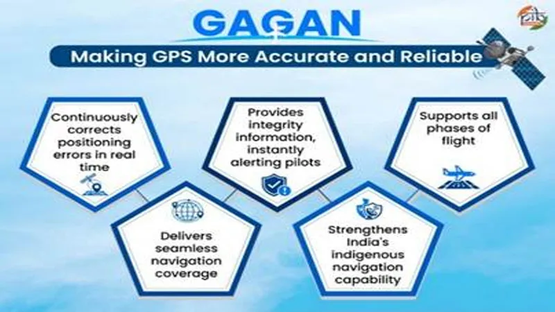
India’s GPS Aided GEO Augmented Navigation system started working in 2015.

2

Three Indian satellites named GSAT‑8, GSAT‑10 and GSAT‑15 send the improved signals.

3

The system is used by commercial jets for safe landings.

4

It can also help ships, roads, railways and emergency responders.

πŸ“–

Summary

The system uses three Indian satellites that send extra signals to make the usual Global Positioning System even better. 📡

Because of this, pilots can land safely, even when the sky is cloudy. 🌤️

The same technology can also help ships, trains, and rescue teams find their way. 🚢

πŸ“˜

New Words to Learn

16 words
indigenous
made or owned by the country itself
navigation
finding the way to go
satellite
a machine placed high in space that sends signals
geostationary
staying over the same spot on Earth
augmentation
adding extra help or improvement
integrity
making sure something is correct and safe
manufacturing
making things in factories
original equipment manufacturer
a company that makes parts used in other products
global
worldwide
ecosystem
a group of things that work together
interoperable
able to work together with other systems
maritime
related to ships and the sea
disaster management
helping people when big emergencies happen
telecommunications
sending messages over long distances
surveying
measuring land or places
mapping
making pictures that show where things are
πŸ”— Read Full Article β†’

Want to learn even more? Click here to read the full story!

πŸ”Š Reading Article
Kid-friendly voice
πŸ†

New Badge Unlocked!

Badge Name
Badge description