← Back
Article image
πŸ“° News ⏱ 2 min
πŸ”‘

Key Points

4 points
1

India voted for a United Nations idea to use maps that keep land sizes correct.

2

The idea does not pick a specific map or change any country’s borders.

3

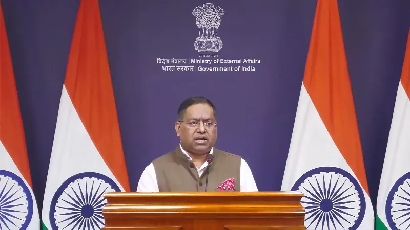
India said its own borders must be shown exactly as its government says.

4

The country’s stance on its land is firm and will not be negotiated.

πŸ“–

Summary

The United Nations agreed to think about using these fair maps.

India also said its own borders, like the places Jammu and Kashmir and Ladakh, must stay as shown on its official map.

The country said it will not change its ideas about its own land.

πŸ“˜

New Words to Learn

9 words
United Nations
a big group of many countries that works together on world problems
resolution
a formal decision made by a group
equal‑area map projection
a way of drawing a flat map that keeps the size of each land area correct
projection
the method used to turn the round Earth onto a flat picture
sovereign
having full control over a country
territorial integrity
keeping a country's borders the same
foreign ministry
the part of a government that deals with other countries
disputed
argued about by different sides
map
a picture that shows places and how they are arranged
πŸ”— Read Full Article β†’

Want to learn even more? Click here to read the full story!

πŸ”Š Reading Article
Kid-friendly voice
πŸ†

New Badge Unlocked!

Badge Name
Badge description