Summary
It uses rain data, water levels, and land shape to suggest the best locations.
Villages can use the web site to see detailed maps and plan water projects.
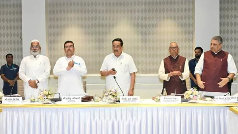
India's Water Management Minister launched the app.
A research institute and the National Water Mission helped create it.
The app works up to three kilometres from where you are.
It shows which type of water‑saving structure fits each area.
It uses rain data, water levels, and land shape to suggest the best locations.
Villages can use the web site to see detailed maps and plan water projects.
Want to learn even more? Click here to read the full story!