Summary
Scientists regularly measure river depth to make sure channels stay clear.
Online maps give captains up‑to‑date water levels and routes.
Shipping by water saves money and cuts carbon emissions.
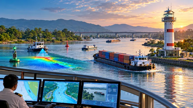
Four riverine lighthouses, each 20 meters high, are being built on the Brahmaputra.
The lights use solar energy and include weather sensors.
Hydrographic surveys map the riverbed and tell the lowest water depth.
Digital charts and a vessel‑tracker let operators see boat locations in real time.
Transporting one tonne of goods by water costs about one‑third of road transport.
Scientists regularly measure river depth to make sure channels stay clear.
Online maps give captains up‑to‑date water levels and routes.
Shipping by water saves money and cuts carbon emissions.
Want to learn even more? Click here to read the full story!