Summary
It uses a giant digital map called a Geographic Information System to show where projects should go.
More than fifty‑eight government departments and all states are sharing the same information.
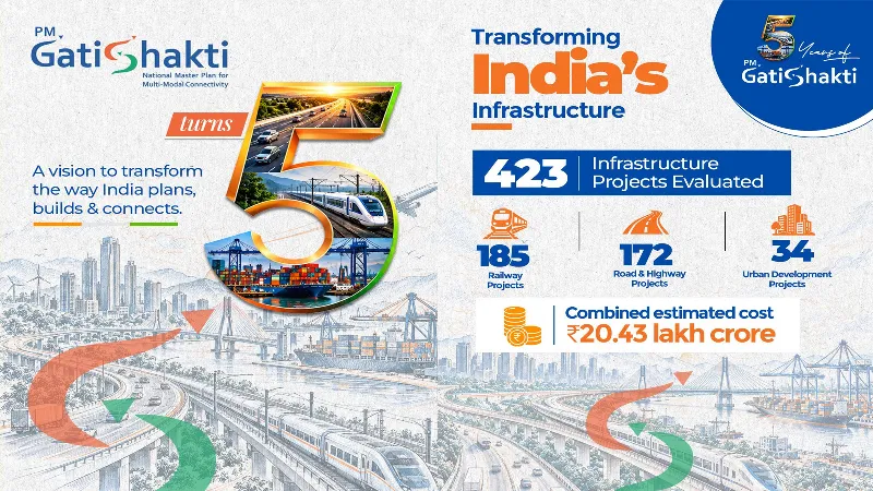
The plan has already looked at almost four hundred projects worth a lot of money.
One example is a 699‑kilometre express road that avoids cutting into forests.