Summary
It shows wind speed, possible flooding and sea‑level rise on easy pictures.
Officials will use it to warn communities early and plan safety steps.
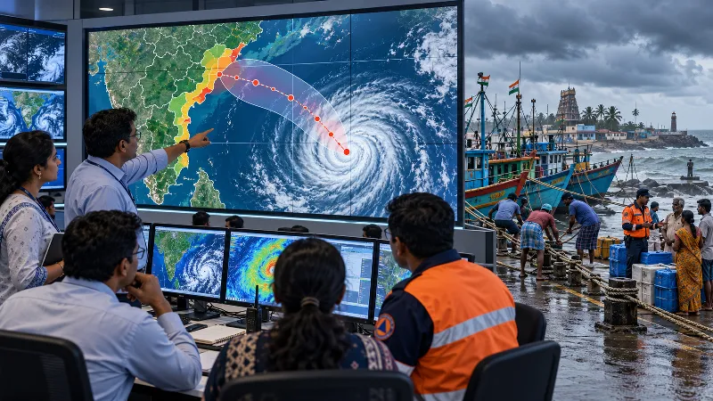
India's Weather Service introduced an interactive Cyclone Warning and Marine Weather Services Decision Support System.
The system combines cyclone tracks, intensity forecasts, wind distribution, rain warnings and storm‑surge data.
Available on the Weather Service website for officials, disaster teams and the public.
Aims to turn scientific forecasts into quick actions to protect lives.
It shows wind speed, possible flooding and sea‑level rise on easy pictures.
Officials will use it to warn communities early and plan safety steps.
Want to learn even more? Click here to read the full story!