Summary
The map lets people see wind, rain and sea waves so they can stay safe.
Scientists and helpers will use it to warn families before a storm arrives.
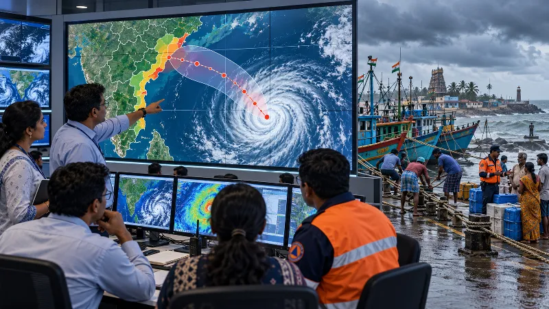
Launch of an interactive storm‑tracking map by India's Weather Service.
Shows cyclone paths, wind strength, rain chances and sea surge.
Designed for government teams, emergency helpers and the public.
Helps turn forecasts into quick actions to protect lives and homes.
The map lets people see wind, rain and sea waves so they can stay safe.
Scientists and helpers will use it to warn families before a storm arrives.
Want to learn even more? Click here to read the full story!